


It’s called the ‘hidden’ river of Bristol, which is an apt name because the Malago disappears and reappears at various spots in south Bristol and it’s often hard to spot.
The River Malago springs from Dundry Hill and flows down through Hartcliffe to Bedminster and then eventually enters the River Avon New Cut at Coronation Road.
The first place you can spot the river in Bedminster is Dalby Avenue, behind railings and a wall next to the former car park where student flats are currently being built.
It then disappears at the end of Clarke Street and reappears at the foot of Windmill Hill, running alongside the bottom of gardens in Cotswold Road, where there’s a foot and cycle path that forms part of the Malago Greenway.
The river then flows under St John’s Lane and then beneath Bedminster Road before reappearing alongside Malago Drive and through Marksbury Road park through to Hartcliffe Way, when it becomes Pigeonhouse Stream and continues through Hartcliffe.
It once provided power and water for mills in Bedminster, as well as factories and tanneries, and it was also prone to flooding.
In 1880, the flooding was so bad that it led to the creation of the relief culvert which can be seen inside railings on St John’s Lane, close to the Malago Vale Trading Estate.
A peaceful corridor of trees and shady plants, the river is home to a wealth of wildlife, from ducks and dragonflies to butterflies and bats. Kingfishers are also said to live along the riverbank.
Here are 11 photos of the section of a ‘hidden’ river that even some locals still don’t know about.
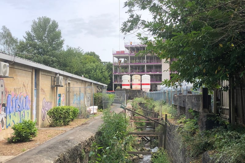
1. Start here
The first signs of the River Malago are behind a wall in Dalby Avenue in Bedminster
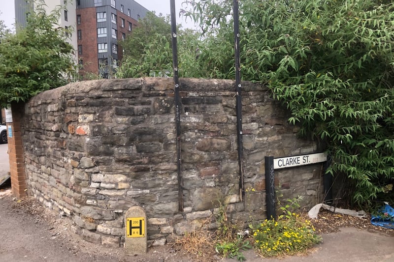
2. Disappearing act
The river disappears at the end of Clarke Street in Bedminster before reappearing a short walk away at the bottom of Windmill Hill.
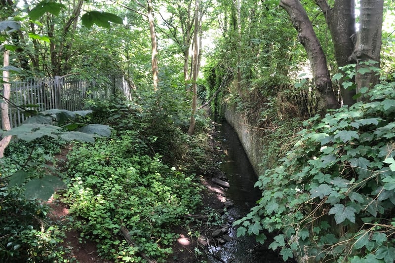
3. Tranquil spot
The river continues through this shaded and peaceful corridor at the bottom of Windmill Hill.
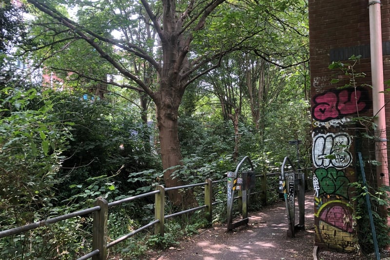
4. River trail
The Malago Greenway foot and cycle path runs alongside the river at the foot of houses on Windmill Hill.