
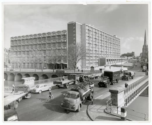


You only have to look at the number of cranes on the skyline to see that new high-rise buildings seem to be appearing in Bristol all the time.
Many of the estates Bristolians grew up on are unrecognisable compared to when they were in their younger years.
Bristol World has pulled together eight images documenting estates across Bristol either at the time of their completion or shortly after.
The areas included cover Bedminster, Brislington, Easton, Henbury, Hartcliffe, Fishponds, Two Mile Hill and Barton Hill.
The pictures were supplied by the Housing Department function on Bristol City Council’s Know Your Place site.
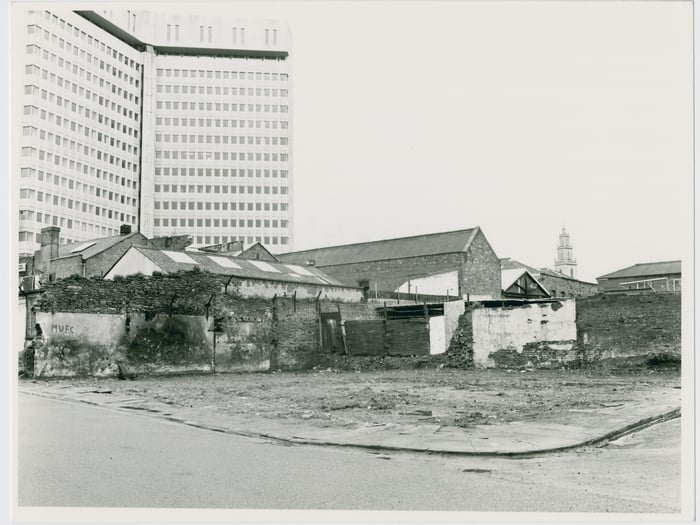
9. Wellington Road, St Paul’s - c1975
Taken around 1975, to the left of the picture is Wellington Road looking south-west. To the right is the now-forgotten Moreton Street. Condemned housing on both roads were cleared in the previous decade - the industrial buildings and warehouses beyond would follow shortly after and be replaced by a retail centre. The tower of St Paul’s Church can be seen in the background, dwarfed by the then recently-built Tollgate House which would eventually make way for Cabot Circus’ multi-storey car park. | Bristol Housing Department / Know Your Place