
Some of this fascinating villages have been absorbed into the city of Bristol whilst others have been transformed into something completely different.
Scroll through to learn about 9 fascinating villages that have been lost to Bristolian history.
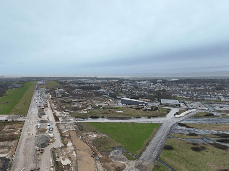
1. Charlton
Charlton was located between Filton and what now is the Cribbs Causeway out-of-town commercial and retail area and was part of the ancient parish, and later civil parish of Henbury. Fields and Over Court Deer Park (now Bristol Golf Course) were to the north of the village. Charlton was a small village or large hamlet in Gloucestershire with a Bethel Chapel and Sunday School, which was demolished in the late 1940s. The site is occupied by part of the derelict runway and safety margins of the former Bristol Filton Airport. The village was compulsorily purchased in the 1940s to make way for an extension of the main runway at Filton Airfield to accommodate the take-off and landing requirements of the Bristol Brabazon propeller-driven airliner. Residents were offered a market price for their homes and the government offered rehousing in council housing in Patchway, which many took up to retain community links. | Google Maps
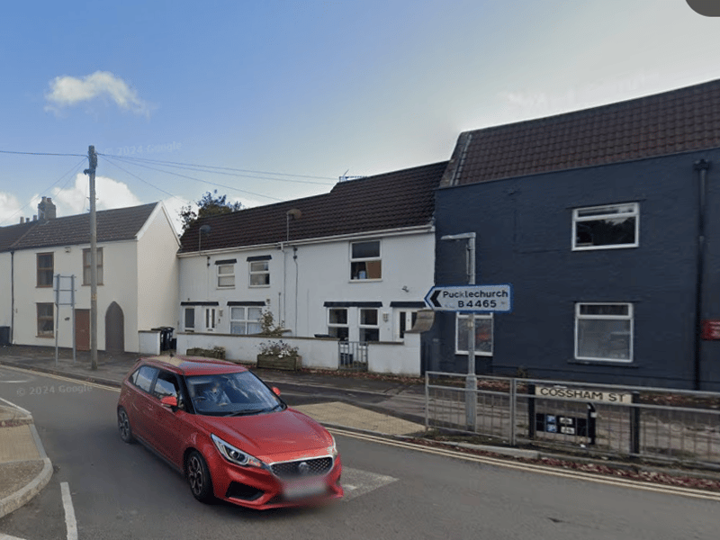
2. Mangotsfield
The north-east Bristol suburbs of Blackhorse, Bromley Heath, Downend, Emerson’s Green, Mangotsfield, Staple Hill, the eastern part of Oldbury Court and the upper part of Soundwell, and the two remaining rural hamlets of Bury Hill and Moorend used to make up the former rural parish of Mangotsfield, South Gloucestershire. The village's history stretches back to the Domesday Book of 1086 and almost certainly beyond. The parish became the civil parish of Mangotsfield in 1866. | Google Maps
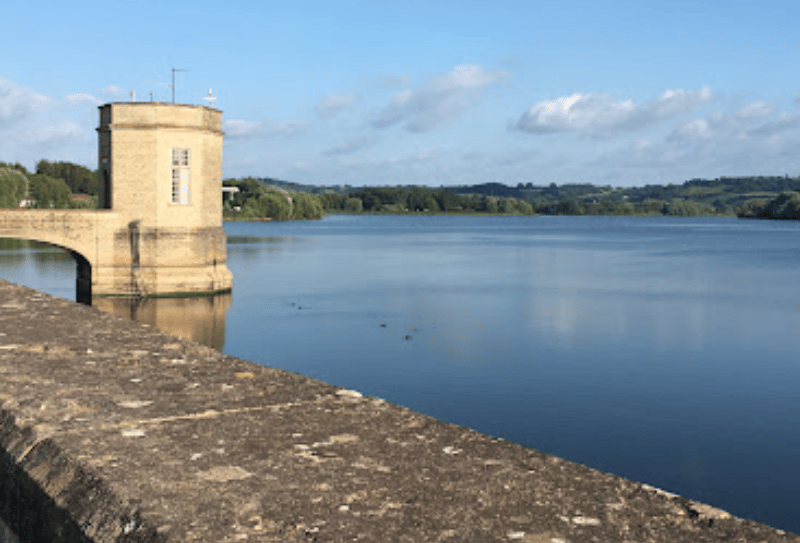
3. Moreton
The settlement was based in what is now the Chew Valley Lake and listed in the Domesday Book when completed in 1896 by William the Conqueror. Moreton was completely submerged in the 1950s when the lake was flooded. Past studies of the area before the lake was created, suggested that Moreton's history went back as far as Neolithic times and, when the lake is at a low level, it is sometimes possible to see evidence of the village. | Simon Learns via Google Maps
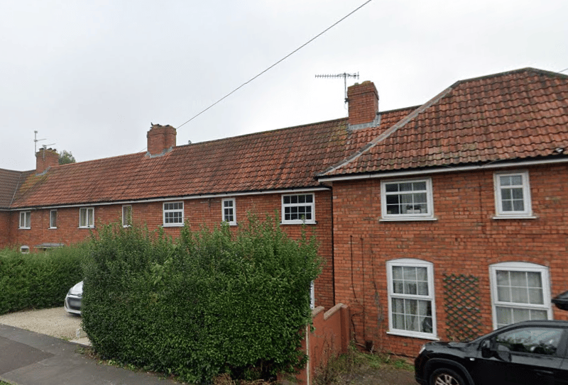
4. Abona
The Roman settlement was located at the present Sea Mills. Abona was important enough to feature in the 3rd-century Antonine Itinerary which documents towns and distances in the Roman empire, and was connected to Bath by a road. Archaeological excavations revealed it served as a port based on the street pattern, shops, cemeteries and wharves found. | Google Maps