
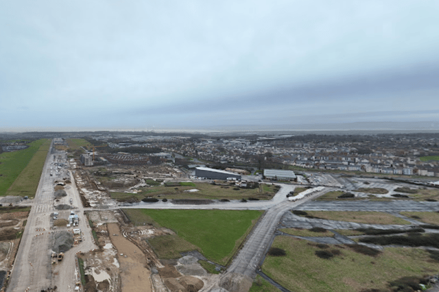

Some of this fascinating villages have been absorbed into the city of Bristol whilst others have been transformed into something completely different.
Scroll through to learn about 9 fascinating villages that have been lost to Bristolian history.
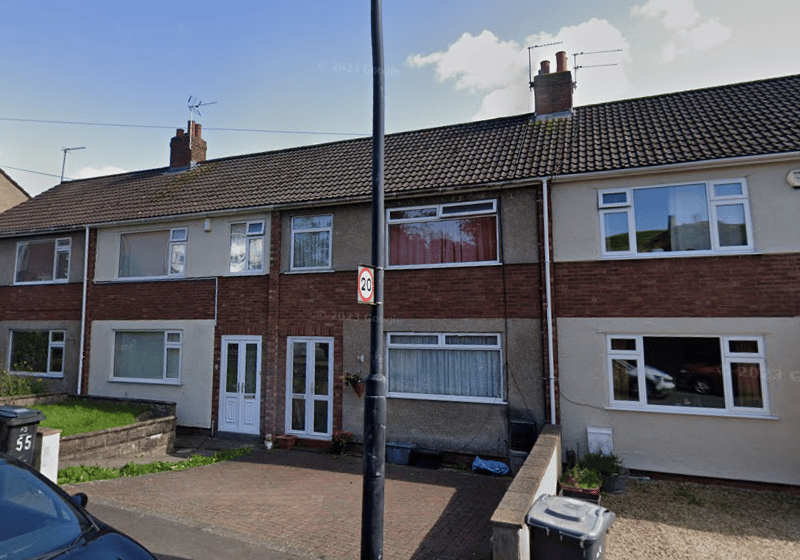
5. Crews Hole
Crew's Hole was located near St George, in east Bristol, next to the River Avon, two miles upstream from Bristol Bridge, and was used as an industrial area from the early 18th century. In 18109, The Bristol Brass Company began copper smelting at Crew's Hole before expanding with a chimney further uphill which gave a better draught condition for the furnaces. In 1812, a pottery was established by Anthony Ammatt using clay transported from the Isle of Wight and Poole. In 1843, Brunel established a tar work site at the bottom of Troopers Hill to provide creosote to be used as a preservative for railway sleepers. Ownership was passed to Brunel's manager, William Butler, in 1863, and during the 20th century, the works were used to manufacture tarmac for roads, which became its main use. In 1970, British Steel Corporation took over running of the tar works and expanded to be one of the most modern in Europe, allowing a continuous 24/7 production of creosote, road tar and smokeless fuel, among other products. Operations continued until 1981. The site of the former tar works is now occupied by Quayside Village since 1989. | Google Maps
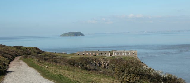
6. Brean
Brean was formerly part of the hundred of Bempstone. The village was flooded during the Bristol Channel floods of 1607, with seven of its nine houses destroyed and 25 inhabitants drowned. It's now a village and civil parish between Weston-super-Mare and Burnham-on-Sea, and home to Brean Leisure Park, a tropical bird garden, other tourist attractions and several caravan parks. | National Trust
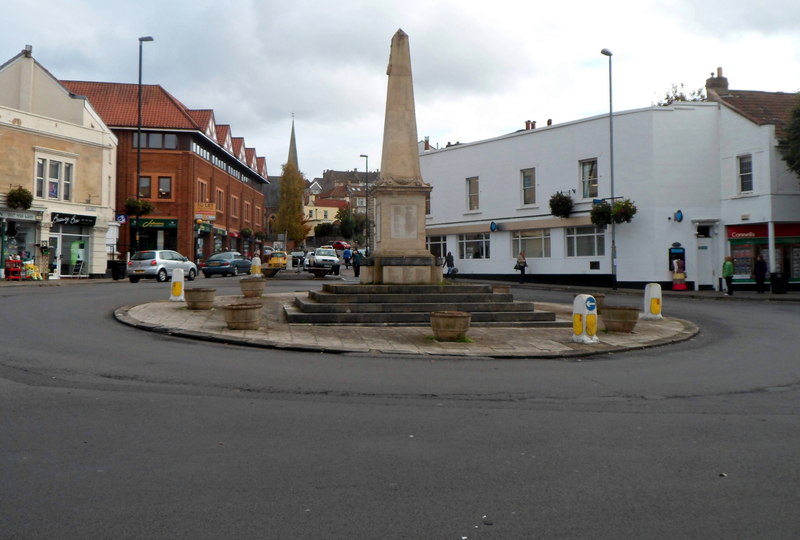
7. Westbury-on-Trym
The origins of the north Bristol suburb pre-date those of Bristol itself. Westbury was part of the territory of Hwicce in the 6th century, which became part of Mercia in the 7th century. The earliest record of Westbury is in a charter dated between 793 and 796, where it is recorded as Uuestburg. Land at Westbury was granted by King Offa of Mercia to his minister, Aethelmund, at the end of the 8th century. The land was passed to the Bishop of Worcester in the early 9th century and a monastery was later built. At the end of the 13th century, the monastery became a college with a dean and canons. It was rebuilt in the mid-15th century to resemble a miniature castle with turrets and a gatehouse. Westbury College was dissolved in 1544 and became a private house which was used as quarters by the Royalist Prince Rupert of the Rhine during the English Civil War. In 1643, the house was set on fire under orders of the Royalist Prince so that the Parliamentarians could not make use of it. Some of the college buildings were restored during the 20th century, Westbury College Gatehouse was passed into the hands of the National Trust and the grounds were adapted for housing elderly people. The ancient parish of Westbury-on-Trym included Stoke Bishop, Redland, a large exclave comprising Shirehampton and Avonmouth, and several smaller exclaves in the parish of Henbury. Shirehampton was separated to form its own civil parish in 1866 and Redland in 1894. The civil parish of Westbury-on-Trym was abolished in 1904 and absorbed into Bristol, and work to turn the village into a large suburb started in the 1920s until the 1960s. | Jaggery via Geograph
8. Bower Ashton
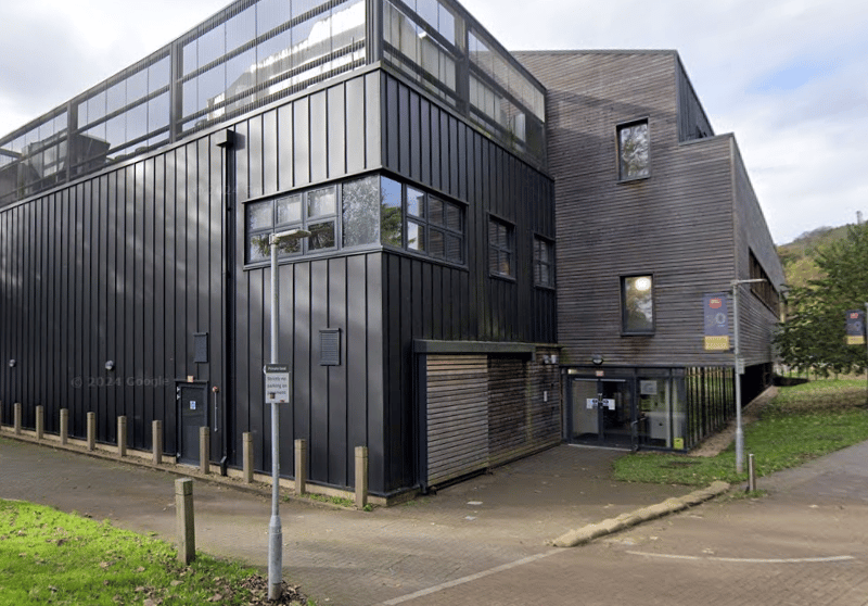
During medieval times, the area of Bower Ashton was owned by St Augustine's Abbey. The Smyth estate was established by John Smyth, a merchant from Small Street, following the dissolution of the abbey in the 16th century. Sir John Henry Greville rebuilt Ashton Court Mansion in the 19th century along with a now demolished Dower house at the current site of UWE's Faculty of Arts, Creative Industries and Education. During ancient times, the Rownham Ferry linked Bower Ashton to Hotwells and brought a considerable amount of money to the monks of St Augustine's Abbey during medieval times. The ferry remained in operation until it closed in the 1930s, after the opening of the Ashton Swing Bridge at Ashton Gate. The area was transferred from Long Ashton parish to Bristol in 1951. | Google Maps